- Research
- Spatial Informatics Engineering
Research

Spatial information engineering determines the location in space where human activities can affect
It is a study that interprets the characteristics of measurement objects.
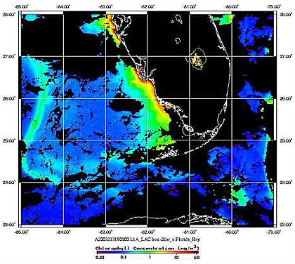
Remote sensing is a discipline that collects electronic spectrum information of detection objects from sensors mounted on airplanes or satellites and interprets their characteristics.
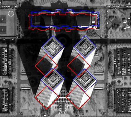
In the RS Research Group, research is being conducted on satellite sensor modeling, reading and processing/analysis of satellite image data, digital photogrammetry, GPS, LiDAR (Light Detection And Ranging), and surveying.
Recent major areas of technology development include 3D city modeling using aerial laser survey data, change detection using satellite image data, stereoscopic utilization technology, extraction of 3D building information using high-resolution satellite images, and creation of landslide prediction maps. It is widely used in various fields such as urban planning, resource exploration, forest resource management, disaster prevention, and damage investigation.
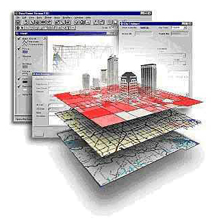
The GIS/LBS research group's research goals are how to database various geographical features that exist in the real world, how to spatially analyze them, and how to comprehensively utilize them.
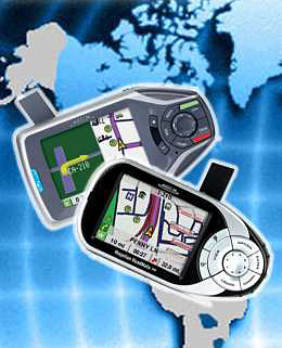
Recent major areas of technological development include spatial database construction, various location determination techniques, map-based urban information visualization technology, spatial analysis and decision-making methodology, location-based services (LBS), and system design.
Major application fields include national territory and land management informatization, spatial big data analysis, and construction informatization. Recently, it has been widely used in autonomous mobile vehicles, smart factories, smart cities, smart farms/energy/environment, etc. as cyber infrastructure in the era of the Fourth Industrial Revolution.